
Geo-enabled Network Data and Network Analytics
Geo-enabled network monitoring, analysis and management are used in many sectors ranging from water drainage systems to utility services and even social networks

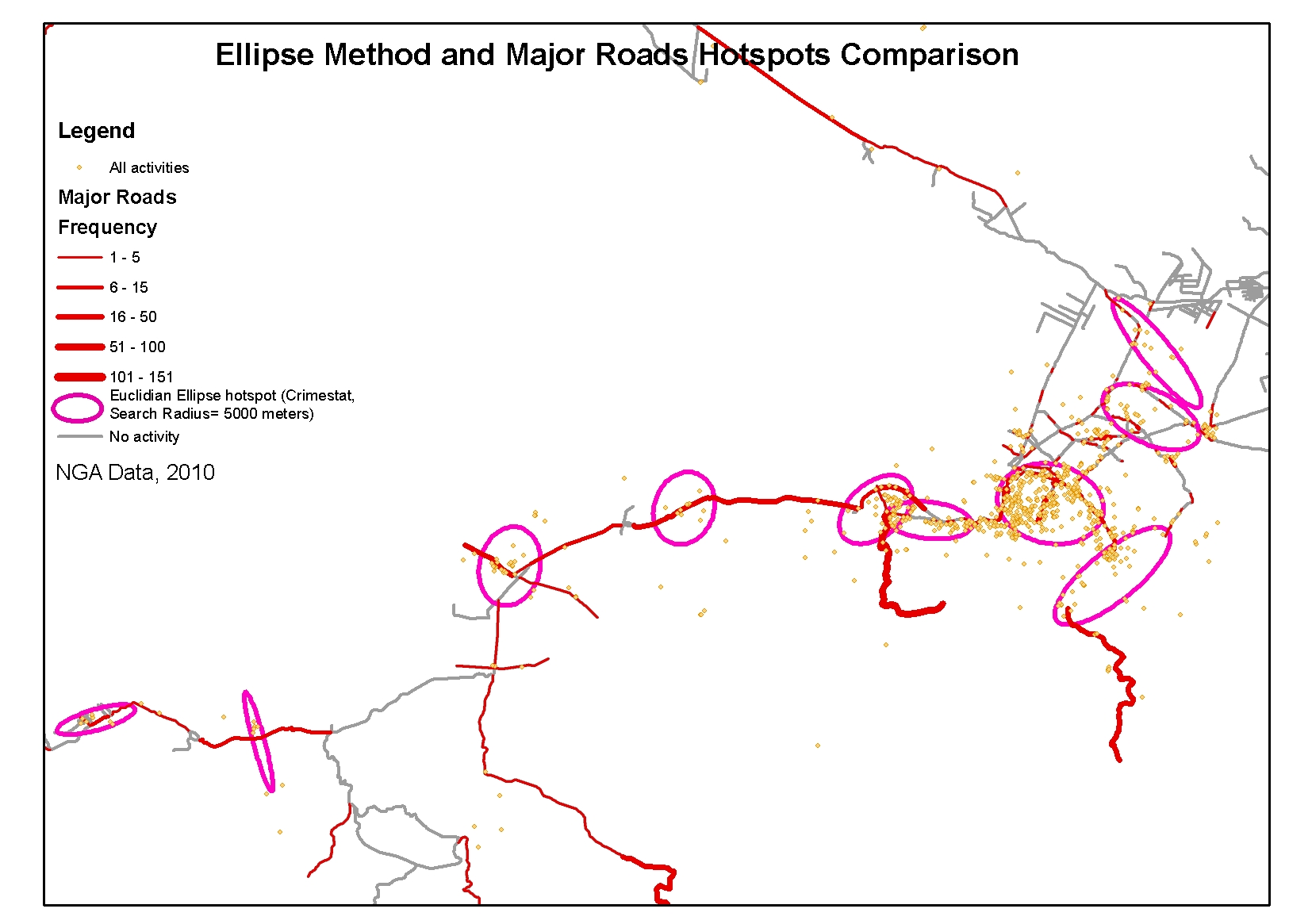
Geo-enabled network monitoring, analysis and management are used in many sectors ranging from water drainage systems to utility services and even social networks. Aperigae supports the clients to understand the phenomena and create a case and problem oriented network model to help customers create value by using our approaches. Aperigae uses the technology created by various communities such as geography, graph theory, topology, spatial statistics as well as GIS to create the best network model to represent the real world phenomena. Aperigae introduces statistical learning, decision making and network analysis into network models to support the customers understand, make strategy and policies at management and strategic levels. Aperigae provides service and consultancy for physically efficiently construction, managing, systems integration and maintaining by using geo-enabled network technology. Following are the field where Aperigae provides service and consultancy to the customers.
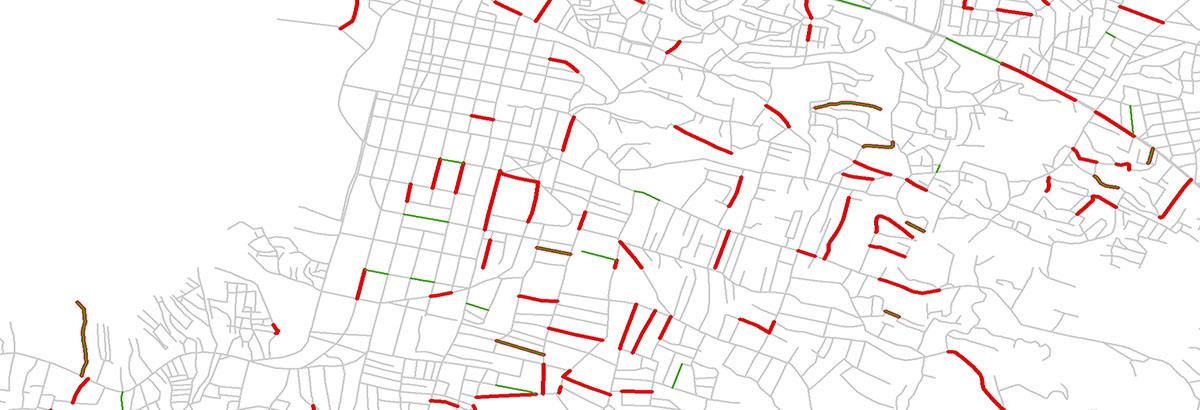
- Transportation: Road networks, asset mamanegment, rail-networks, marine/river networks, route planning
- Transmission: electricity, gas, data, telecom, GSM
- Utility services: pipelines, electric transmission, telecom, gas, water, wastewater
- Social sciences: social networks, tribal/commune relationships, social movements, network/graph analysis of social relations
- Business: customer behavior within social nets, recommend systems
- Agriculture: irrigation, drainage
- Forestry: transmission lines in forestry, accessibility for forest fire
- Emergency, Security: accessibility during emergency and disaster, town evacuation route planning
- Environment: wild animal migration routes
© Copyright 2025 Aperigae.com