
Topographic Mapping
Aperigae provides service, product and consultancy for topographic and small scale topographic (at scales 25K, 50K, 100K, 250K, 500K, 1M) mapping with experienced staff.

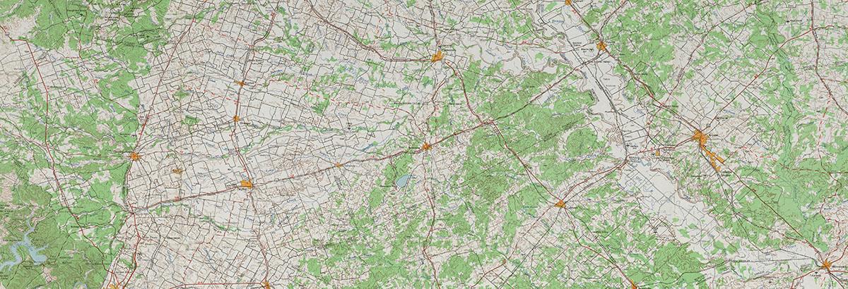
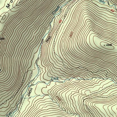
Aperigae provides service, product and consultancy for topographic and small scale topographic (at scales 25K, 50K, 100K, 250K, 500K, 1M) mapping with experienced staff. The service covers vector data capturing, attribution, creating database and GIS. The content of data and maps covers elevation and terrain, utilities, transportation networks, hydrology, geonames, boundaries, Landuse and land cover, vegetation, populated places as well as other feature layers that customer require.
© Copyright 2025 Aperigae.com