
GeoData Quality
For several years after having global coverage of DEM, high precision vector and imagery data, users have become more liberal to choose among the available data sets with varying temporal, spatial resolution and content.


For several years after having global coverage of DEM, high precision vector and imagery data, users have become more liberal to choose among the available data sets with varying temporal, spatial resolution and content. This opportunity raised several quaetions and challenges fort he users such as ‘choosing the best’, ‘choosing the appropriate’, ‘choosing the compliant with current’ and so on. The user needs to know the quality and seek an advice (recommendation) which to use.
Aperigae considers quality of geoinformation as the base and indispensible part of Aperigae’s business processes for decision making, analysis and visual communication with our customers namely decision makers and operational users.
Aperigae takes each case as a different item and generates a problem oriented approach for DQ. Aperigaes’s approach is covers the phases such as; focusing on the requirements, modelling data quality, evaluating and measuring DQ elements in order to find out what kind of quality information users actually need to avoid data misuse.
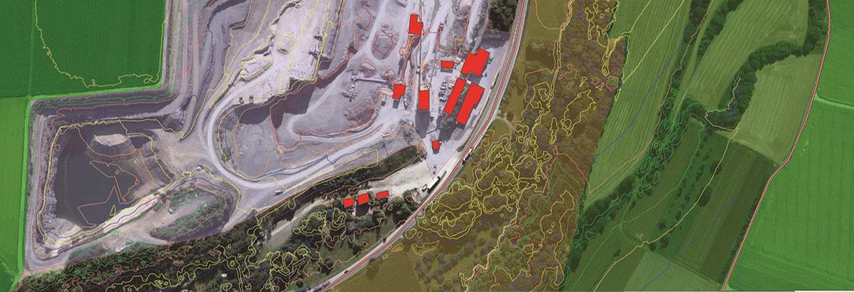
Aperigae provides service for observing and monitoring geo-data quality for vector, raster, imagery, aerial photography, UAV imagery, point clouds, DEM and so on due to ISO 19157, NATO and other standards given by the customer. Aperigae provides service and consultancy fo the following tasks;
- Figuring out the quality aspects of geoinformation, geoinformation services of the customer
- Building geoinformation data quality models for new products
- Populating geoinformation data quality repository (files, databases etc.) for existing data stores.
© Copyright 2025 Aperigae.com