
Madencilik ve Maden Arama
Aperigae provides an integrated platform of GIS, remote sensing, geospatial data analytics, visual analytics where information from other disciplines such as geology

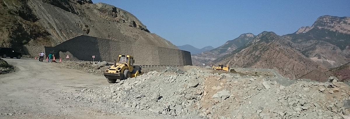
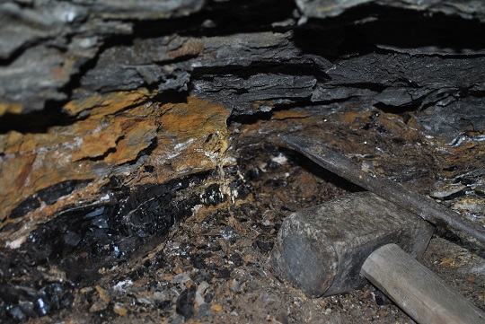
Aperigae provides an integrated platform of GIS, remote sensing, geospatial data analytics, visual analytics where information from other disciplines such as geology, mining, mineral exploration, soil, vegetation, water are integrated by means of interdisciplinary approach. Aperigae introduces the power of analytical capabilities of GIS and image analysis, classification for mineral exploration by using all the conventional information sources created by structural geology, geomorphology, soil, water and vegetation analysis conducted by means of field observation, field survey, field sensing and laboratory analysis. Aperigae’s approach for mineral exploration enables the decision makers to localize the exploration area and minimize the costs for further engineering pratices.
© Copyright 2025 Aperigae.com