
Ormancılık
Aperigae provides services, training and consultancy regarding geoinformation science and technology for forestry with a well combination of experts from the fields of geoinformation, geomatics as well as experts with academicians and professionals –with working experience- forestry background.

Aperigae provides services, training and consultancy regarding geoinformation science and technology for forestry with a well combination of experts from the fields of geoinformation, geomatics as well as experts with academicians and professionals –with working experience- forestry background.
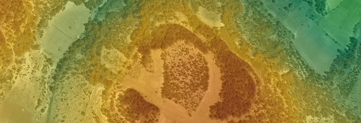
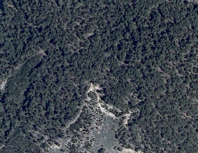
Extensive and diverse expertise of Aperigae in developing modern methods for survey of forest, land cover and land use methods through remote sensing technology, GIS and statistical tools allow the forestry governance to use geo-supported analytics both for operational processes, operational management, strategic planning, forecasting and management. The following are the fields that Aperigae provides service, consultancy, training and products.
- Geo-support for forestry administration,
- monitoring and assessment of the forest resources,
- geo-supported asset management
- monitoring forest plantations by means of geo-solutions
- strong geoinformation support for forest and Greenhouse Gas (GHG ) Emissions Inventory including biomass and forest carbon and climate change
- geo-solution for the land use, land use change and forestry (LULUCF) impact on total greenhouse gas emissions
- geoinformation training and research for forestry and plantation
- Geoinformation science and technology training and research for forestry, plantation and vegetation
© Copyright 2025 Aperigae.com