
LIDAR
Aperigae provides aerial and terrestrial LiDAR support to the customers with close collaboration with solution partners.

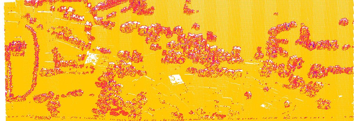
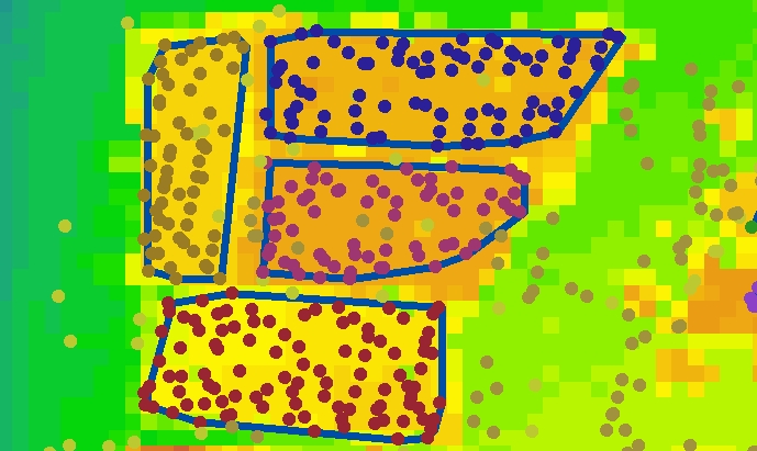
Aperigae provides aerial and terrestrial LiDAR support to the customers with close collaboration with solution partners. The LiDAR solution aims at high resolution terrain modeling or aims at complement to aerial photography for fast and accurate terrain mapping. The LiDAR service employ solutions to the applications in a various fields such as high resolution terrain modeling, shoreline delineation, floodplain mapping, forest inventory, forest stand, transmission (electricity, gas etc) corridor mapping, road/railroad deformation surveillance, and land use/ cover mapping, building/city reconstruction, solar potential of roofs etc..
© Copyright 2025 Aperigae.com