
DEM (DSM/DTM) Point Clouds
Aperigae provides consultancy, service to customers or optimizing production workflow to the customers for DEM production, analysis and sevicing.

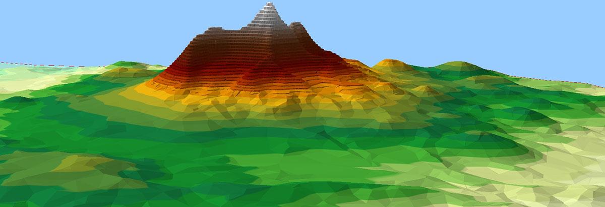
Aperigae provides consultancy, service to customers or optimizing production workflow to the customers for DEM production, analysis and sevicing. The DEM (DSM and DTM) is a representation of terrain including surface objects such as buildings, trees, bridges, etc.
Aperigae is able to produce DEM products in international (ISO, NATO, INSPIRE etc.) and technology standards from various sources such as imagery, aerial photography, LiDAR, SAR, UAV among others.
Following are some of the capabilities of Aperigae regarding elevation data
- designing DEM (elevation and depth) model due to INSPIRE, NATO standards
- creating elevation/depth model: fusing, patching and mashing up various sources for a unique DEM model
- DEM editing, fusion for high quality
- TanDEM-X DEM creation and editing
- Global DEM generation: fusing global GTOPO 30, ETOPO2, ETOPO5 and local DEMs
© Copyright 2025 Aperigae.com