
Capability for Research
Aperigae conducts research for our customer by combining our expertise, experience and professional background with our partners from research institutes to produce useful

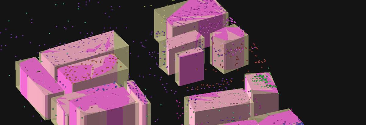
Aperigae conducts research for our customer by combining our expertise, experience and professional background with our partners from research institutes to produce useful, fit for purpose outcomes by using state of the art geoinformation technology and science, geo-data analytics, visual analytics, spatial data mining, spatial statistics methods. Our target partners have SME having domain expertiese in government, defense, security, military, intelligence institutions, private companies and research institutes and so on.
Aperigae is able to conduct aplied research regarding geodata science and engineering in the following fields
- master data, custom data engineering, data architecture,
- engineering, research, technology,
- geomatics and geoinformatics (geodesy, gephysics, surveying, surveying, photogrammetry, remote sensing, GIS, cartography, visualization among others)
- geo-computation, complex geo-computation, geo-recommend systems
- geodata analytics, geodata visual analytics,
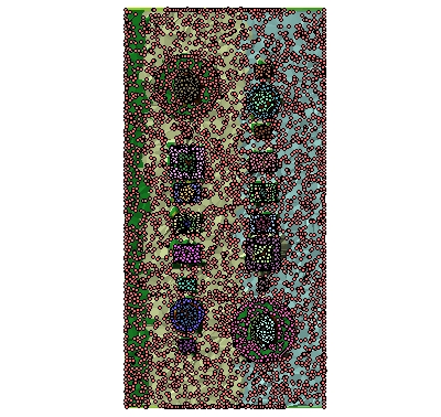
- explorative geodata analysis: visualizing the findings from geospatial data analysis and geospatial data mining
- geospatial data mining, spatial statistics, geo-statistics,
- geospatial data warehouse, OLAP
- custom geo-computation software, geo-web and geo-mobile apps,
- design and development of large geo-databases,
- geospatial big data analytics, management,
- cloud computing, cloud GIS, cloud mapping
© Copyright 2025 Aperigae.com