
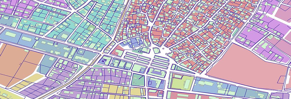
GIS and Geodatabase
Aperigae provides end-to-end GIS solutions on COTS or open source platforms. The service covers technology consultancy and implementation such as providing COTS or customised software applications, GIS enabled geo-database development, spatial data management due to business requirements

Aperigae provides end-to-end GIS solutions on COTS or open source platforms. The service covers technology consultancy and implementation such as providing COTS or customised software applications, GIS enabled geo-database development, spatial data management due to business requirements. With experienced staff and partners, Aperigae provides support from low level API development, GIS design, fueling GIS enabled geo-database to enterprise solutions for strategic planning of the business by solving business challenges posed by volume (size, and scaling), variety (complexity of data, user and processes), velocity (continuously chancing environment) of today’s geospatial big data phenomena and fact.
Aperigae solutions enable customers to integrate the geo-spatial and geo-location entry into their business processes and business workflows for efficiency, competitiveness and boosting user productivity.
In addition all these geo-technology solutions, Aperigae handles any geo-related problem with an enterprise approach to provide customers make their geo-related business strategy, policy and geospatial framework which support enterprise goals such as standards, master data, data architecture, geo-architectural design and geo-powered organization, procedures, responsibilities and roles.
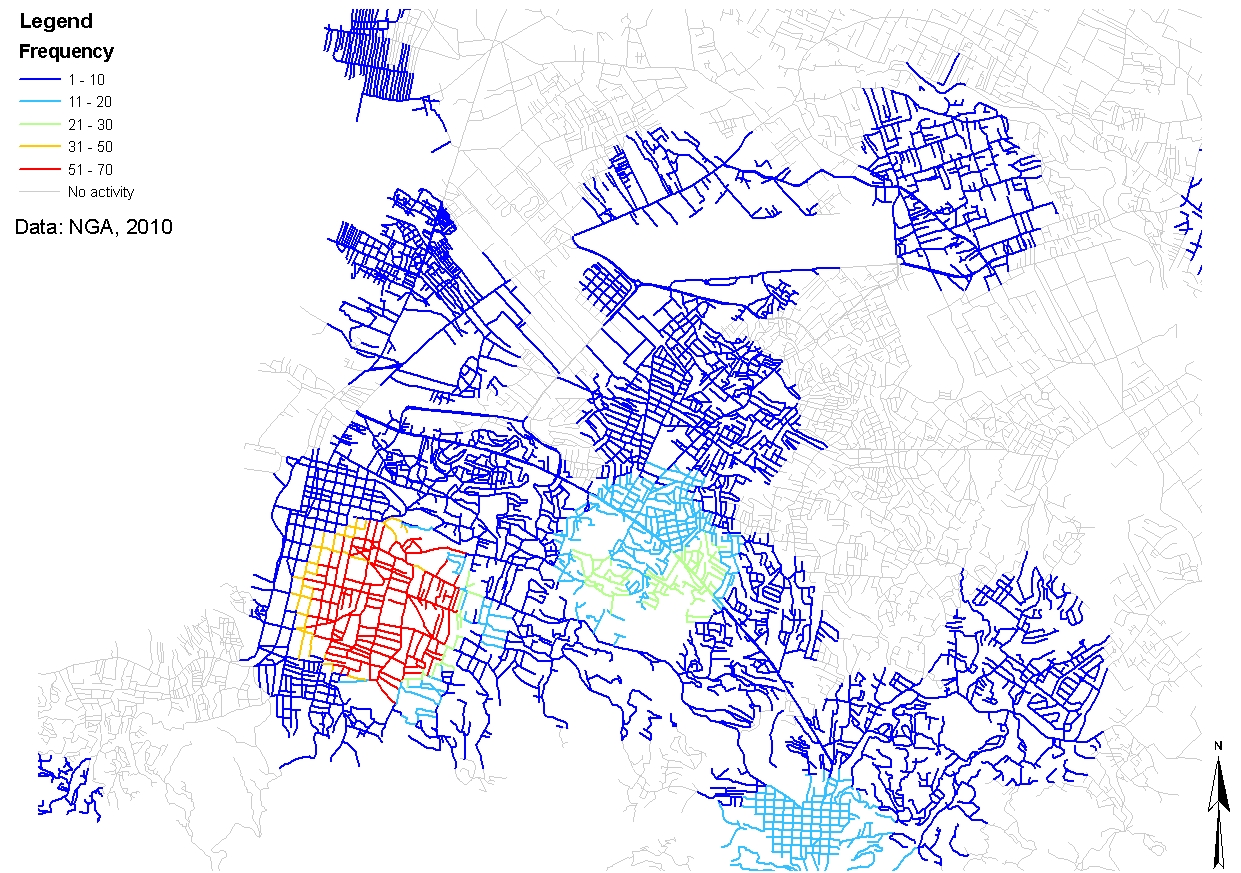
Aperigae’s support for Web-enabled GI management comprises the following;
- GIS and GI project management, timely scheduling
- Data visualization, manipulation, upload and download geodata through Web and smart devices
- GIS and geospatial data analysis
- Accessing geoinformation data, data cubes, thematic map stores, reports and realtime visualization and reporting through Web and mobile devices
© Copyright 2025 Aperigae.com