
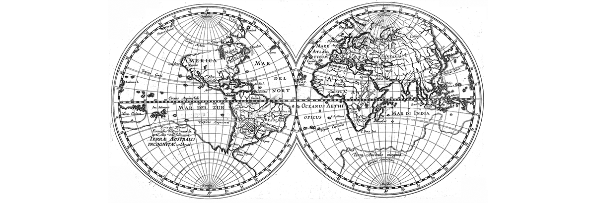
Military geography, military mapping, Aeronauitical mapping, Geo-intelligence
Aperigae provides service, product and consultancy for military (geointelligence) topographic data and topographic (at scales 25K, 50K, 100K, 250K, 500K, 1M) mapping for land, air and navy.

Aperigae provides service, product and consultancy for military (geointelligence) topographic data and topographic (at scales 25K, 50K, 100K, 250K, 500K, 1M) mapping for land, air and navy.
Aperigae aims at capacity building for Navigation (Marine) Data and Charts such as ENC (Electronic Navigational Charts (ENCs), RNC (Raster Navigational Charts) (RNC), DNC (Digital Nautical Chart)Maps
The topographic mapping service comprises cartographic design, visualization, implementing production work flow and production of topographic maps for the following products.
- NATO (Operational Navigation Charts-ONC (1M) Series
- NATO Tactical Pilotage Charts -TPC (500K)
- JOG A/G (Joint Operation
- NATO Joint Operations Graphics (JOG) Air/Ground (250 K) series
- NATO 1303 series, NATO 1404 (Land) (500K) Series
- NATO Low Flying Charts- LFC (500K)
- NATO Transit Flying Chart (250 K) and Low Flying Chart
- Escape and Evasion Maps
- Topographic Base Map at scale 25 K
- TLM at scale 50K, 100K
- MGCP Derived Graphic (MDG) at scale 50 K and 100 K
- Creating Geonames Database (Gazetteer) (including Exonyms, endonyms)
- and atlases for presentation and briefing
© Copyright 2025 Aperigae.com