
Geodesy, Geophysics, Surveying, Land Surveying, Engineering Surveying
Aperigae provides service and consultancy on geodesy, geophysics and land surveying in collaboration with partners, ...

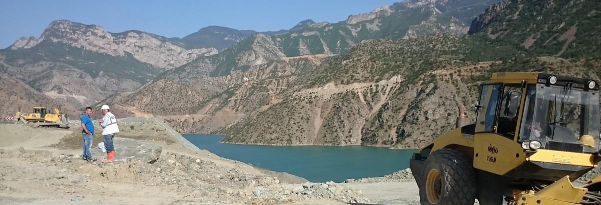
Aperigae provides service and consultancy on geodesy, geophysics and land surveying in collaboration with partners, research institutes and consultants to handle applied and theoratical complex geo-problems in the field of geodesy, geophyhsics, surveying and engineering surveying. Aperigae consults the customer about the most appropriate and technically most feasible surveying technique according to the characteristics of project and needs. Aperigae is capable of conducting various surveying techniques such as aerial, terrestrial, conventional and combine the results.
Aperigae with experienced staff has planning, operational, computation, project management expertise in the following fields;
- Geodetic surveying, GPS/GNSS Networks, Leveling and data analysis
- Geophysical observations and data analysis: Relative Gravimetry, Magnetic Observations and geophysical data processing
- land surveying and data analysis: cadastral surveying, boundary(forest, agricultural land etc.), land tenure, registry and titling, directional (road, rail, utility), , Right of Way surveys, and boundary surveys
- engineering surveying and data analysis: deformation surveying, monitor ground stability (subsidence, landslides), surveying movement of large infrastructure, as built, monitoring structures during installation period and complex structures surveying
- hydrographic surveying
© Copyright 2025 Aperigae.com